




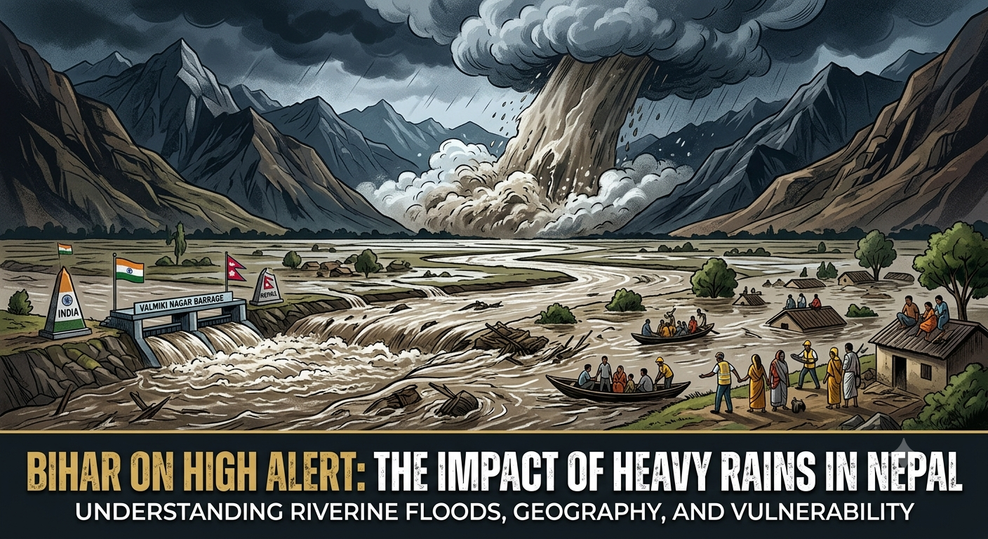
Recent severe rainfall and natural disasters in Nepal have triggered high alerts across the border in Bihar. With Nepal facing massive destruction—including the tragic loss of over 700 lives and thousands missing—the excess water from the mountains is now flowing southward, creating a significant flood risk for downstream regions in India.
Rivers Crossing the Danger Mark
The primary threat to Bihar comes from the rapid rise in river water levels.
Major rivers originating in Nepal, such as the Gandak, Kosi, Bagmati, and Mahananda, flow directly into the plains of Bihar.
Currently, several of these rivers have crossed their designated danger marks.
Because these smaller rivers eventually merge with the Ganga, its water level is also rising dangerously, particularly near cities like Patna.
To manage the immense pressure, all 36 gates of the Valmiki Nagar barrage (located on the Gandak River at the India-Nepal border) have been opened, releasing nearly 100,000 cusecs of water.
Understanding the Flood Threat
The type of flooding Bihar expects is very different from the disasters currently overwhelming Nepal.
The Situation in Nepal (Flash Floods): Nepal experiences “flash floods,” which are extremely sudden and fast-moving. They are usually caused by heavy cloudbursts or glacier breaks in steep mountain terrains. Because they happen so rapidly, there is almost no warning time, making them highly destructive and deadly.
The Situation in Bihar (Riverine Floods): Bihar, on the other hand, faces “riverine floods.” This occurs when the massive volume of water from the mountains flows downstream and accumulates in the flat plains, causing river levels to rise gradually over hours or days. The slower pace of this flooding gives authorities adequate time to issue warnings and evacuate citizens.
Why is Bihar So Vulnerable?
While riverine floods give authorities precious time to evacuate low-lying areas, Bihar remains highly susceptible to yearly flooding due to its unique geography.
Heavy Sedimentation: The Himalayan mountains are geographically “young” and active. Rivers flowing down from them carry heavy loads of broken rocks, sand, and soil.
Changing River Courses: When these fast-moving rivers hit the flat plains of Bihar, the water slows down and drops this heavy sediment.
The “Sorrow of Bihar”: This buildup of rocks and mud acts like a dam, blocking the natural path of the water. This forces rivers—especially the Kosi—to frequently change direction, spilling over into surrounding villages and farms.
Because authorities can monitor these slowly rising riverine floods, early warnings are actively being issued to help move people to safety before the waters peak.